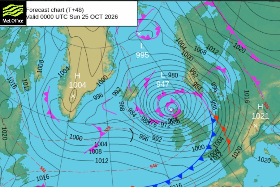
Two different storms this week with a wet and increasingly windy weekend.
Storm Austen (centred down south on Friday) will bring rain to East Lammermuir for much of the day, with a brisk NE backing NW wind.
Storm Boelo (crossing northern Scotland this weekend) will bring more rain from the west and very strong winds, even land gales in exposure to SE Scotland.
After Austen’s rain, there will be a cold, clear lull after midnight on Friday, with a fair gap on Saturday morning. Outbreaks of rain and a fresh southerly arrive by Saturday afternoon. There will be a spell of very heavy rain and high gusts as the front moves through early Saturday evening, and skies clear again.
Then the real force of Boelo will ramp up, as the winds veer to a westerly.
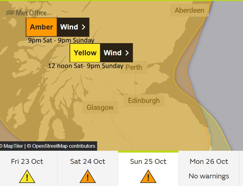
Saturday night and Sunday will be the main event of Boelo’s winds, across Scotland. Expect travel disruption. Prepare for high winds and heavy rain, and the possibility of power outages, even flooding especially after Friday’s rain. (Met Office severe weather warning Amber Sat 9pm til Sunday 9pm – these may be updated.)
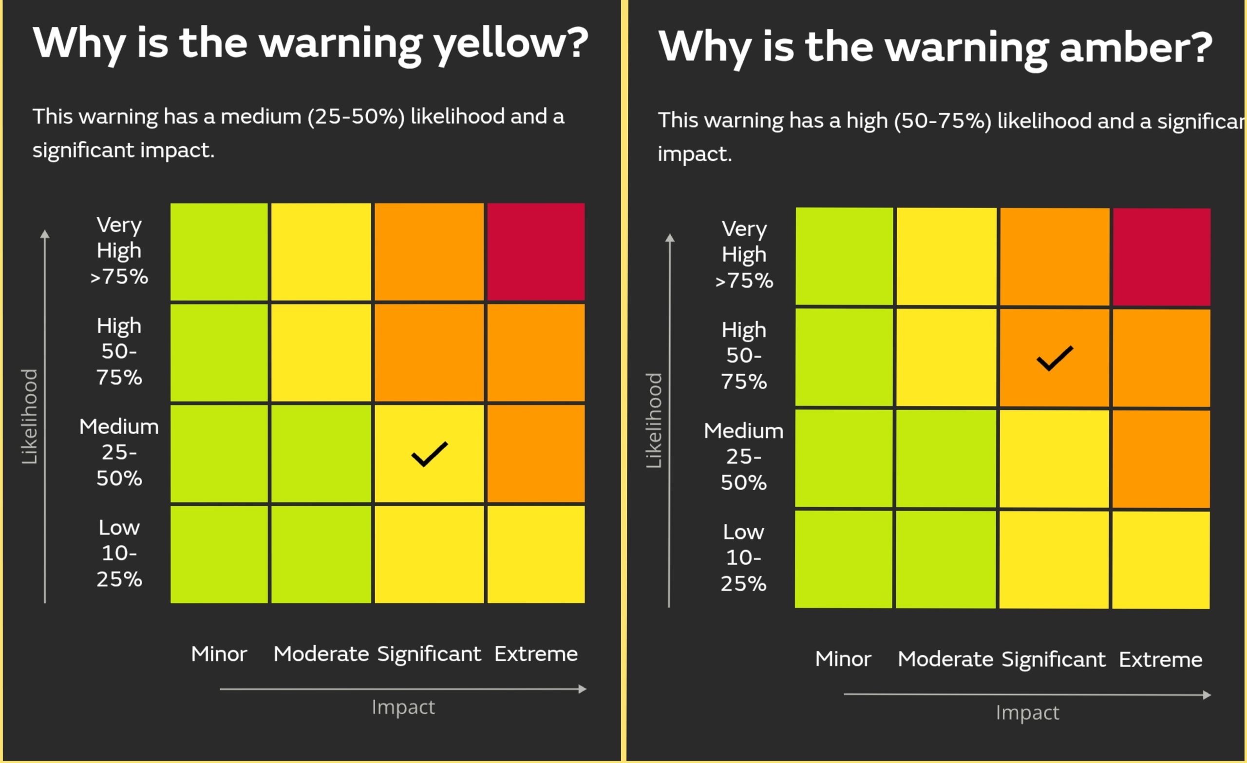
Update 5pm 23/10 – The yellow wind warning has been upgraded to an Amber, as the Likelihood of Significant Impacts occurring has increased. The forecast is growing in confidence and the defined significant wind impacts have a high likelihood of happening in the amber area. It’s not that the storm has worsened, we have not moved up to Extreme impacts column, it’s just that confidence is higher.